11

Alternate navigation to phone

Hey All,

My partner and I have been working on our preps (seriously, anyway) for a little over a year now. She recently took on a new job where she travels up to 2 hours from home a day. She is a hospice social worker and her routes and clients change. Furthermore, all routes are incredibly rural. Some towns have as little as 50-100 people and even then, many of her clients live on farm roads or rural routes.

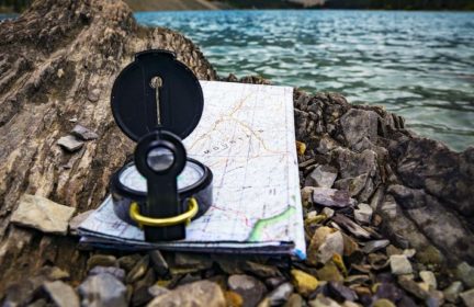
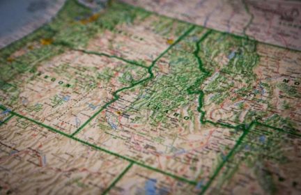
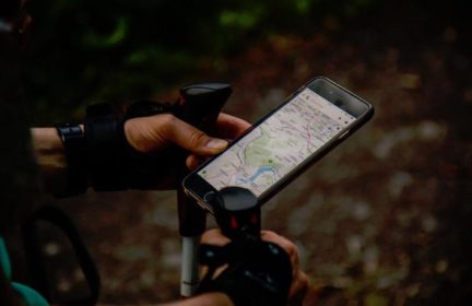
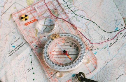
We have made sure she has downloaded maps from our Garmin Explorer + and that she has a power bank to charge her phone; however, I have always been a fan of paper maps. The problem that I am running into is that without carrying a bunch of maps it is hard to get one as detailed as we need for alternative roads, etc. 

The biggest hazards I believe she would face would be weather related or vehicle related. Ice storms and snow in the winter, severe thunderstorms with flash floods and tornadoes in the spring/summer/fall. And obviously any mechanical issue that can happen to a vehicle. 

Does anyone have any suggestions for paper maps or something similar that would be effective? And does anyone else have a job where their route changes constantly and brings them into areas where they aren’t familiar (or have spouses whose jobs require those things)? Any insights would be appreciated and questions are always welcome.

19

  • Comments (19)

    • 14

      Road Atlas plus Vehicle mounted compass, both available from amazon. Here in the UK we have the Explorer 1:25,000 and Land Ranger maps 1:50,000  ideal for back up navigation.

    • 8

      Glance at large pulp map of  this new area.  Make a list of names/locations of court houses/congregation of government building, eg highway maintenance dept, US Post Office, ant volunteer fire and rescue stations, 

      Contact one of the bigger “cities” in this area.  Ask where/how/cost to purchase a detained local area pulp map.  Do this for a couple of other places from your list of locations … not that close to each other.

      After collecting a couple to a few detailed pulp maps, purchase a pulp state atlas.  One source I used – don’t know current status – was http://www.americanmap.com.

      To augment above, while this method is in formation, visit an area volunteer fire and rescue building when some firefighters are present.  These folks can provide guidance on local maps. Depending on specifics – I’m writing in generalities – sometimes local real estate companies give out free local maps to potential customers. Banks once did this also. Worth keeping in mind. 

      Ref the car; Weather related forecasts are a must for safety. Develop a familiarity with the website of National Weather Service and their forecast page.  Basically, on top left is a box to type in ZIP and a 6-7 day display of weather appears.  Hazardous weather is boldly printed.

      See: http://www.forecast.weather.gov  Hopefully this arrives on your screen.

      Ref outfitting the car in case of mentioned emergencies;  Here at TP.com is info on various kits.  Spend some time reviewing.  For cold weather, de-icer window sprays and the brush/scrapper tools are needed – along with rags, paper towels.  Drinking water, food, stuff to keep warm “just in case” ……. Read up on the TP kits and can guarantee your questions will be answered here.

      Just to mention; There’s a pulp atlas of US post offices per area and a pulp atlas for Walmart stores.  

      • 5

        Thanks for the info. The vehicle is outfitted pretty well with supplies and emergency stuff. That was one of the first things we did when we got it. I’ve been thinking about adding a cheap ham radio to the car with a mag mount antenna just so she can pull in the most up to date weather info, as cell service is spotty at best. Plus the skywarn folks out here are pretty active and she could potentially get “boots on the ground” info for approaching storms, etc that is a little more specific to where she may be.

        What is a pulp map? I have never heard this term before.

      • 9

        Ref “pulp map”;  The term is probably for too narrow a population segment for me to have used here.  “Pulp” = refined pulp from trees, ie paper. Besides cyberspace and paper maps, the US military also has some plastic-coated maps.  Some companies also make maps printed on all-weather “paper”.

        Glad to hear vehicle is prepared and reviewing a ham radio upgrade.

        I’ve taken the Skywarn course and recommend it to the prepper community. There are web courses and the NWS website discusses how to enroll.

      • 5

        haha… I had googled it before I asked; however, all I kept coming up with was maps that showed papermills through out the US. I thought I was missing something. We have a number of hiking maps that have a coating on them which I love. 

        The vehicles are always a project. I enjoy working on creating systems for all the “what ifs” that could happen. I was a whitewater raft guide for a long time and my nickname on the river was Mr. Safety. lol. I think it is just in my nature to run possibilities, but more than a few times, when something has went awry, it was always manageable with the gear on hand. 

        The skywarn class is interesting. I started it a while back, but still need to finish it.

    • 10

      If you’re in the US, go to Amazon, type in your state and Gazetteer. It has ALL the roads in your state. I used to travel to rural schools for years and probably wore out at least 4 before GPS came along. Plus you can never depend on always having a phone signal or internet in the boonies!

      • 9

        I just bought those. They should be arriving today! I got one for each vehicle. 🙂

      • 8

        Scan copy and print the essential LOCAL map pages , get them laminated and keep them in your vehicles.

      • 9

        LOL…we used to joke that we found the schools by looking for the stadium lights and the flag pole. 😉

      • 7

        LOVE the Gazetteers. As kids we used to use them on summer road trips throughout the Midwest, and I just got the first one for my car this year! Planning to keep it in the car with an inexpensive orienteering compass for these exact situations.

    • 11

      Topographic maps also have roads on them. You can download them for free from the USGS. (I also save the maps as PDFs and put them on my iPad.)

    • 10

      While maybe not as specific and detailed as you need, if you need a free map of the major highways and roads, go to your local state tourist website and request a free map there.

      I did that and have maps for my state and neighboring states in my glove box. Didn’t cost me a thing, and I now can bug out a bit more easily because I’ll have some paper maps on how to get out of town. 

      -Be Prepared-

    • 9

      National Geographic has some free printable USGS 7.5 minute topographic maps you can download. https://www.natgeomaps.com/trail-maps/pdf-quads 

      Just throw in a fake/burner email address if you don’t want to subscribe to their newsletter.

      • 7

        Thanks, this is so helpful! I’ve played around with services like MyTopo and trying to download the maps directly from USGS, but this is so much easier.

      • 5

        Thanks for that. I’m gonna see if I can download those to a micro sd card and then just put that in my phone. What a great resource!

    • 7

      You can also download maps to your phone memory in Google Maps. They must be re-downloaded after a year, but it covers when there’s no cell reception.  I did this in addition to ‘pulp’ versions.  I also googled that one….to no avail.  Thanks, Bob! 

      • 9

        That sure is smart to download an offline copy of maps Alicia, and it has helped me out quite a bit too. Future searches will load faster as well because a bulk of it is already downloaded. 

        I also like to have a backup maps application on my phone with offline maps downloaded on that as well. Earlier this year, Google had an outage and many of their services were down. The best alternative maps application for me is one called “Here We Go”.

        -Be Prepared-